
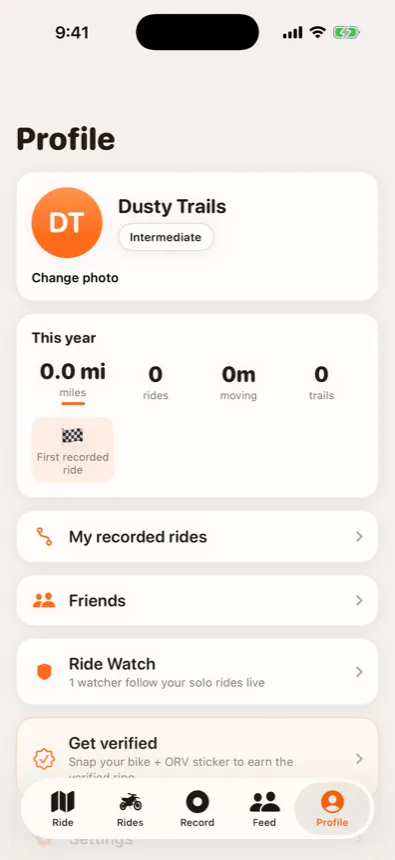
Ride Watch
Pick the people who worry — mom, spouse, riding buddy who stayed home. On a solo ride they get a live web link with your last known spot. No app, no account, no fee. Just a map and a timestamp.
Built in Michigan · iOS · free
The full DNR trail system in your pocket — offline. Ride tracking, a crew to ride with, and a live Ride Watch link for the people who worry about you. Built by Michigan riders, not a mapping conglomerate.
On the App Store soon. Beta riders get in now.
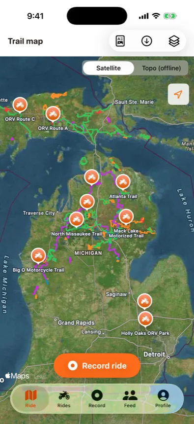
The map
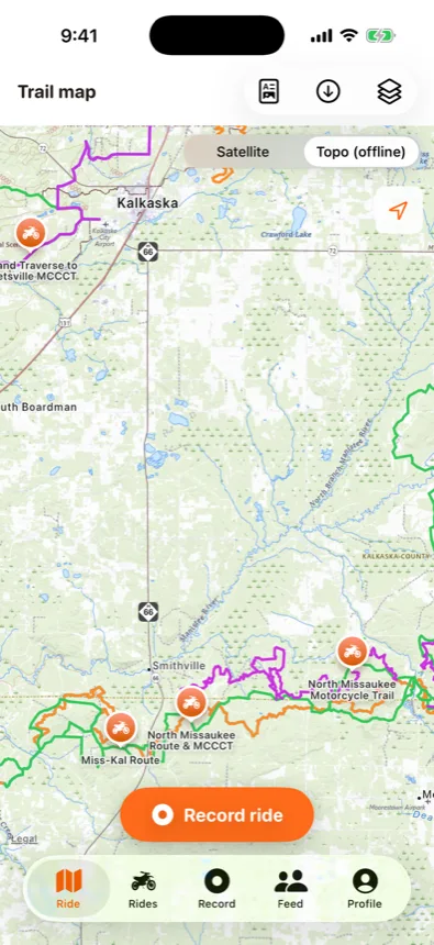
Every designated ORV, motorcycle, ATV and MCCCT route in Michigan, pulled straight from the DNR's official data and cached on your phone. When the trail drops into a dead zone — and it will — the map doesn't.
The reason this app exists
Dirt biking is dangerous, cell coverage up north is a rumor, and "I'll be back by dinner" isn't a safety plan. This is the part we built first.
Pick the people who worry — mom, spouse, riding buddy who stayed home. On a solo ride they get a live web link with your last known spot. No app, no account, no fee. Just a map and a timestamp.
Tell the app when you'll be done. Blow past it without checking in and your watchers get an alert with your last position — with a level-headed checklist, not a panic button. Dead zones alone never trigger an alarm.
On crew rides everyone sees everyone. A rider goes quiet, the group gets a nudge. Someone goes down, one tap alerts the whole group with a pin — and any rider can run the ride, not just the organizer.
Safety pings exist to get you home, not to build a data business. Every safety location is hard-deleted within five minutes of ride end. Recorded tracks are separate, private by default, and yours.
The logbook
Hit record and ride. Distance, moving time, speed and elevation — logged offline, uploaded when you're back in coverage, drawn as a breadcrumb you can follow back out when every two-track starts looking the same.
The crew
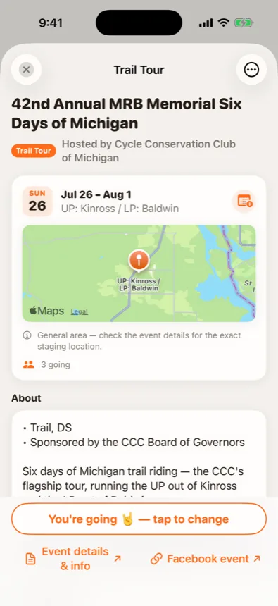
Post a ride with a flexible window — "Saturday, anytime after 9" — and riders within 30 miles whose schedules overlap get pinged. Public, friends-only or invite-only. Weather on every ride card, chat built in, photos from the trail.
Every event gets a public page with a QR code and direct GPX downloads — put it on the flyer and your route is in riders' pockets. Free for clubs. Talk to us.
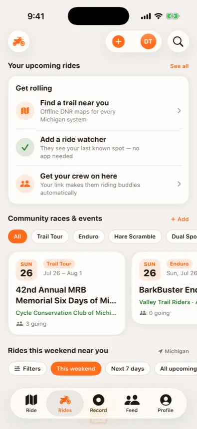
First ride in five minutes
Open the map, pick a system, download it for offline. The whole state is pre-loaded.
One person who'd want to know. They get your live link on every solo ride — they never need the app.
Share your link, they're your buddies automatically. Or ride with the strangers — they're us.
Free on iOS. Michigan first — that's home.
Join the TestFlight beta